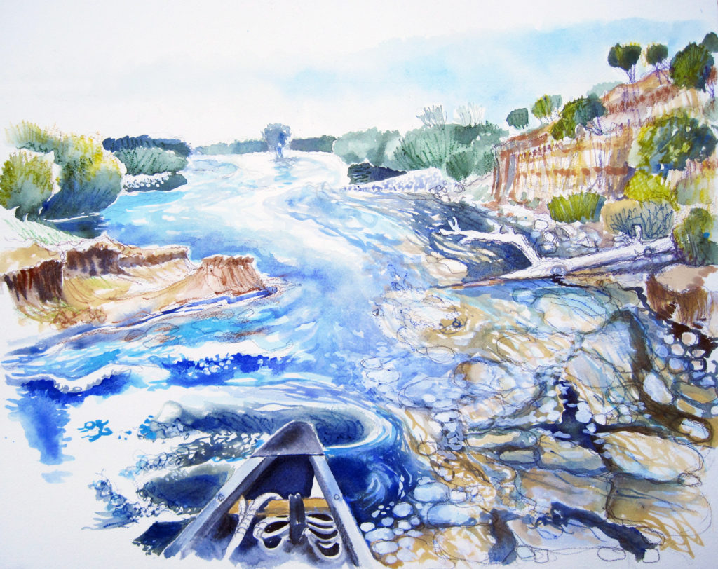
A collaboration with the Water Forum: the Lower American River
Essay from the river, November 2011.
What is a river? I’ve been trying to answer this question in an intimate way since early in my essay series for the Sacramento Bee–10 years ago. How has this river changed?

What Lies Beneath
West of Hazel Avenue, a hazy warm morning makes for perfect canoeing. In the shelter of Sailor Bar, the water is mirror smooth. The canoe glides silently over weary salmon and cobbles worn smooth.From the bow, the main channel looks wide, daunting, fast and rough. The paddler looks ahead, reading the language of the river. On the surface, ominous raised pillow shapes indicate vertical currents below, while eddies threaten the unwary. Haystacks of angry water indicate hard, shallow objects. The river slaps against the canoe. The paddler looks for a funnel shape in the river and heads for the deepest part of the “V,” the safest passage.
“The World According to Garp,” the definitive novel of the 1970s, refers to the undertoad, a metaphor for what lies beneath. In the wondrous river that defines Sacramento, a dichotomy between the beauty of the surface and hidden forces below only becomes evident from the middle of the river. Beautiful, complicated, powerful and deadly, it’s like the undertoad. Understanding its forces isn’t comforting.
A river is a living organism, with objectives, memory and behavior. It seeks to balance energy, volume and gradient with the kinds of sediments it carries by regulating width and depth. From the west side of the Sierra, three main channels of the American River feed 1,888 square miles of watershed into Folsom Lake. From the east the river responds to the Sierra, from the west it responds to the levels of the sea, and in between — man. Folsom Dam was built to manage the conflicting demands of a river that is a victim of the Gold Rush and massive mining operations that filled streams, buried flood plains and moved channels.
The canoe glides past submerged boulders, cobblestones, trees and exposed roots. Around Sunrise Avenue, towering clay cliffs reveal thousands of years of geology. The river has carved strange mesa structures from clay so hard that it acts like bedrock. Clay defines the river as it cascades through the San Juan Rapids, creating haystacks, eddies, whirlpools and boils. Seeking a balance between erosion and deposits, it cuts into the cliffs on one side and places gravel on the other. In high volume, the river wants to cut a deeper channel, but the clay resists. When it can’t incise, the river widens. Up to the levees.
At William Pond, the river runs around and over tiny islands, spinning in and out of channels with water sparkling in the late afternoon sun. Hard, carved clay bottom and banks lay exposed. Just inches under the canoe, rocks are packed as tightly as paving.
Near Howe Avenue, the paddler feels the resistance of the rising tide. The influence of the sea can often be felt upstream in its ebbs and flows. From the bow, I sense the power and promise of the river. The undertoad lurks beneath.
