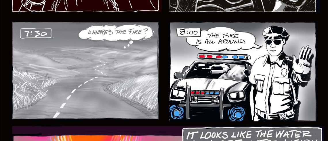
A new essay in the Bee, October 15th
Last Sunday was a magical day at Point Reyes National Seashore, learning about shipwrecks along that brutal coast. Weather doesn’t get any better there, no wind, not cold, not hot. My friend and I returned to her Victorian home in Petaluma around 4, to a peaceful, warm afternoon. She left me by myself to savor the day. She headed to the airport to fly to a conference in Las Vegas, with all that implies.
With no TV, I spent a quiet evening reading and then slept.
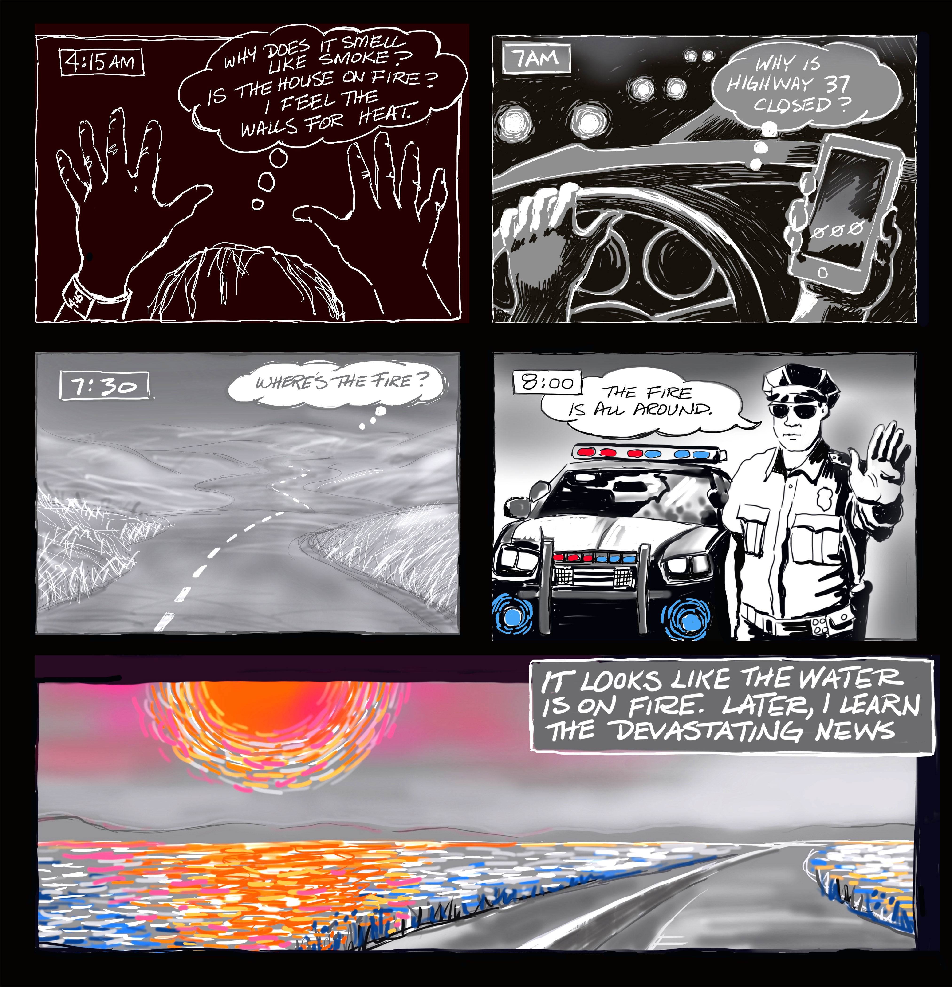
The smell of smoke invades my sleep slowly, until waking me at 4:15 am, wondering why someone would have a fire when it’s still so warm. Wondering if the house is on fire, groping around in the dark, feeling and listening for heat and fire in the walls. Walls are cool so I sleep.
I wake at 6:30, not checking media news as I usually do. It’s still pretty dark at 7 when I get in the car. Now I know there’s a fire somewhere. Phone in hand, I’m amazed to see that Google indicates that Highway 37 is closed. Multiple accidents? No explanation, just closed. I’d been planning a route closer to Napa anyway, and that’s what Google’s Siri says to do. Light gradually reveals a sky filled with smoke. Can’t find local news as I drive east, intending to end up on highway 12, south of Sonoma.
Roads are eerily empty, each mile makes it more difficult to breathe. Smoke obscures dry grasslands on gently rolling hills. At an intersection, I motion the car behind me to come along side. “Where’s the fire?” I ask, and they reply, “To the west in Santa Rosa.” I turn east.
As if a passenger, Siri announces a detour ahead. I’m indecisive. I take it. Now I’m driving towards denser smoke, alone on the road, toward fire, not away. And ahead? Flashing lights and a patrolman turning me back from downed power lines. “Where’s the fire?” I ask, and he says, “All around.”
Siri is confused. She wants me to go to Napa. I’m confused. I turn her off and follow roads south. I stop at a gas station, not knowing what’s happening, where I am or what to do. The attendant watches smoke rise past barricades at another closed road. He tells me that 37 is only closed at Sears Point going west. East is open. I continue south, past blackened burning hillsides at Sears Point, and turn onto 37 towards Sacramento.
This is a portion of the drive I used to enjoy, before cars overwhelmed this inadequate road on an average day. Today there are few cars. Today there are no birds in newly restored wetlands that flank 37 on both sides.
Sun is heavy in the sky as if struggling to rise. It’s blood orange sphere reflects red off the water, first to the left and then to the right as the road curves. It looks like water, too, is on fire.
Click on link to see time lapse of the last drawing.
This is the content as it appeared in the Bee.

